The final event of the festival is one we hope to leave a mark with. Join us in mapping Tralee’s cycle facilities and infastructure, by bike of course.
The collected data will be added to OpenStreetMap which is an open collaborative mapping project. Bring a GPS enabled phone if you have one.
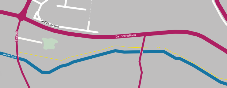
As OpenStreetMap is a free dataset it has many interesting uses, for example from a cycle point of view OpenCycleMap was created this focuses on cycle infrastructure.
People with previous experience with OpenStreetMap more than welcome.
If you are plannign on attending you have any suggestions or idea please add them to the OSM Event Page
Meeting Point: Tralee Town Square
Date: Sunday 23rd September
Meeting: 5 pm